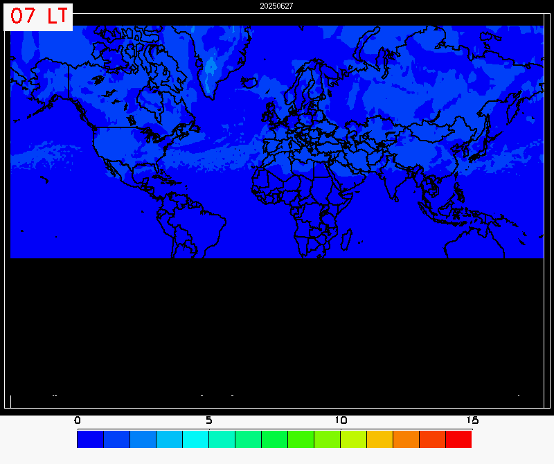
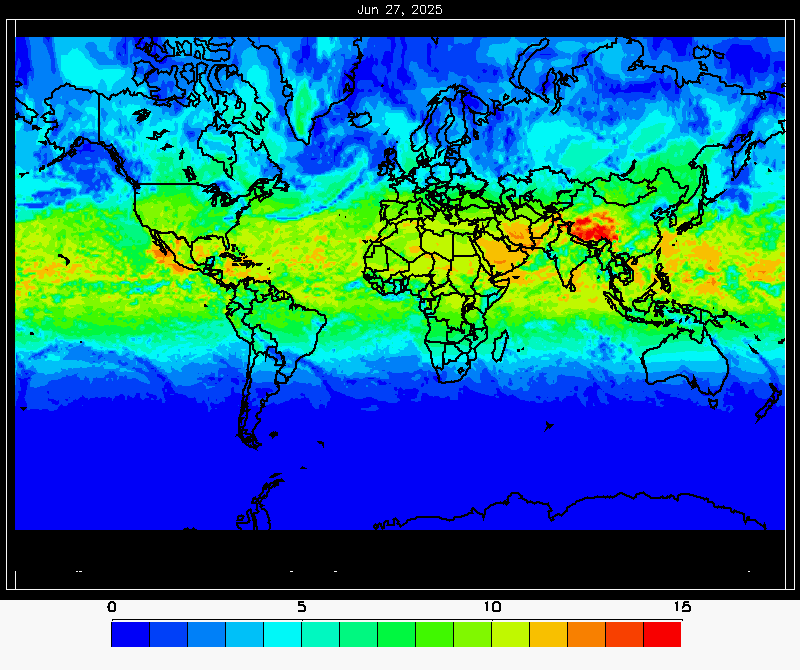
Global UV index forecast
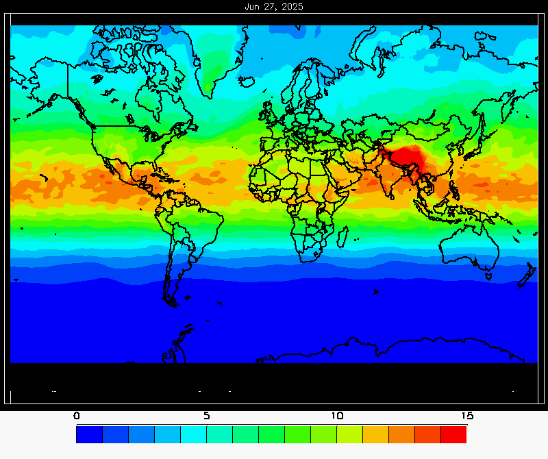
The clear sky UV index is calculated in near real time using assimilated total ozone from the GOME-2 instruments onboard the Metop-B and Metop-C satellites.
The ECMWF total cloud cover forecast is used to calculate the all sky UV index for the expected cloud cover conditions.
Files below contain the global clear sky UV index and the global all sky UV index on a 1 hour time step from 7-17 local time valid for present date. The format is NetCDF4. Other formats, subsections etc. can be available for registered user, see "User Products". Information on algorithm and the Product User Manual can be found in "Docunments".
Files updated 04:00 UTC.